Footage Filmed in 4k Quality High Resolution
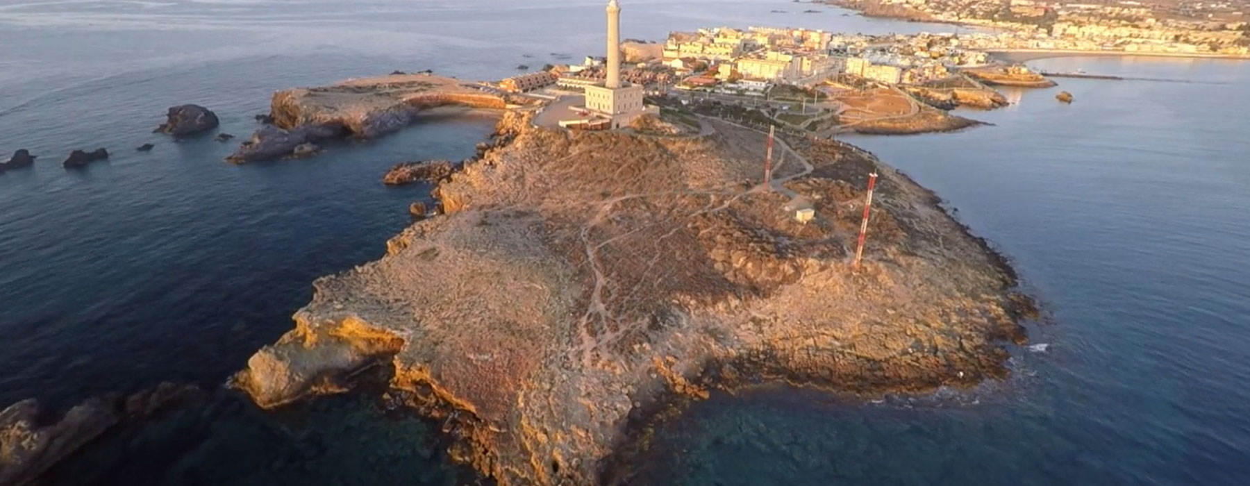
Drone Mapping and Surveying
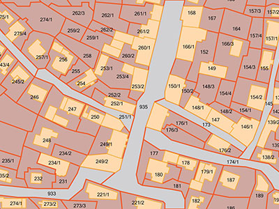
Drone City Studios utilizes sophisticated aerial Mapping and Surveying technology to create 2D and 3D maps that show topography in more detail. Using a drone ground mapping or surveying can vastly reduce the amount of time spent collecting accurate data. Our high-tech drones use 4K resolution cameras and are autonomous with automated take-off, detailed aerial mapping and back for final landing to complete the project.
With our mapping software and intelligent flight positioning using GPS and GLONASS technology, our drones connect to satellites faster and position itself with extreme accuracy in the air then transmit live real-time footage of the area being mapped or surveyed. As a result you receive images and data at great altitudes and with amazing detail that you can analyze later.
Click here to Contact Us to discuss how we can assist you Mapping and Surveying property by using Aerial Drone Video.