Footage Filmed in 4k Quality High Resolution
Damage Assessments
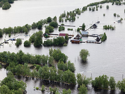
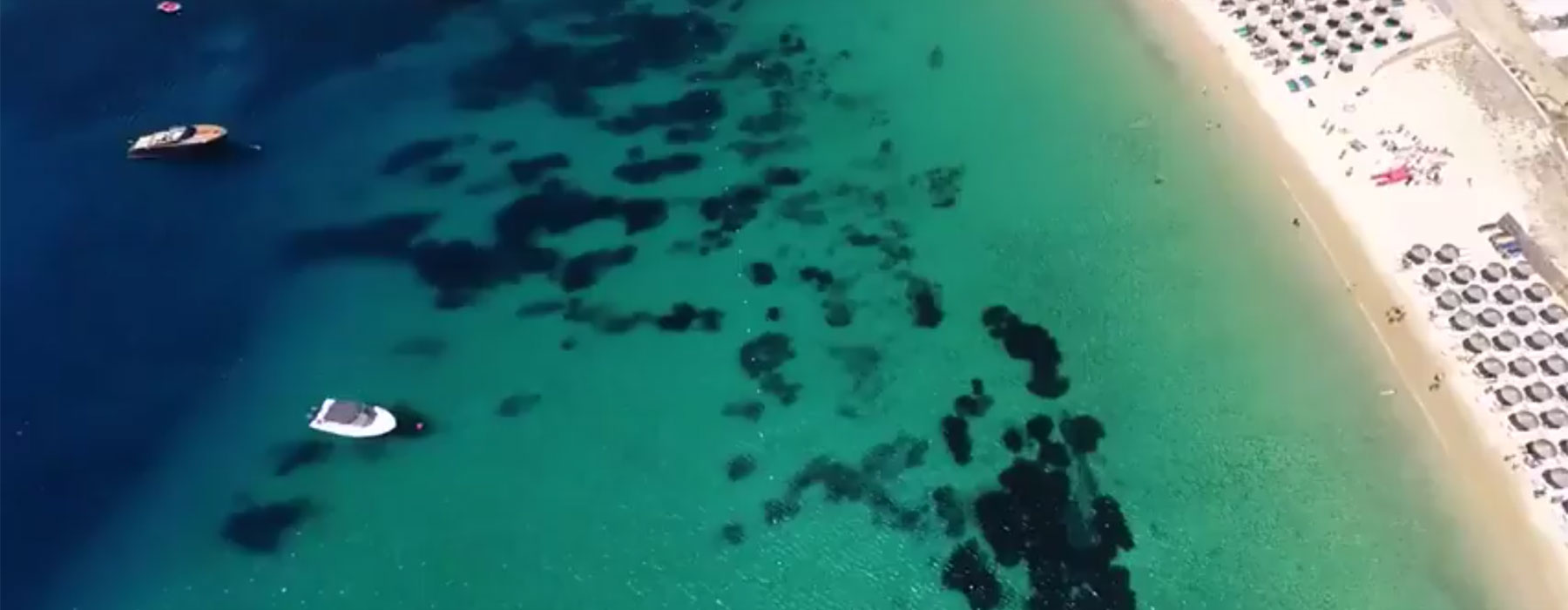
When hard hitting storms such as tornados, hurricanes and even a thunderstorm cause catastrophic damage, it can be very difficult to access the amount of damage these natural disasters can cause. At Drone City Studios we utilize high-tech drones with 4K high resolution video technology to assist in Disaster Damage Assessments when the amount of manpower needed to cover large areas of damage or hard to reach places is difficult.
Drones can be employed after natural disasters in order to map damage to important infrastructures, buildings, hospitals, airports, bridges, commercial property, residential property and much more at heights that cannot be accessed without renting an expensive helicopter, pilot and video camera. We can get as close as necessary to capture as much detail as necessary over large distances in a faster, more efficient, cheaper and more objective manner than current methods.
With Google aerial views or satellite views you get an outdated view of areas and only get mostly the top and front of an area with very very limited detail and no ability to zoom in to see close details. With aerial drone videos you get a 360 degree view of any area from all angles and see much more detail, and it’s all recorded to save for future use or to use consult with engineers, government agencies, insurance adjustors, etc.
Click here to Contact Us to discuss how we can assist you with your Damage Assessments using Aerial Drone Photography and Video projects.